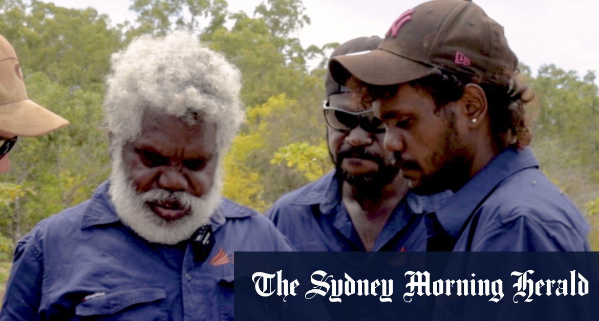
“We mark them [nests] with pegs, then we put green mesh over it. The green mesh was trying to stop dingo, goanna and pigs from digging up the nests.”
Rangers also laid pig bait, did aerial culling from helicopters and checked nests on a daily basis, but it was back-breaking and time-consuming work in harsh conditions.
Feral pigs threaten native species and the environment.
Now an artificial intelligence-based program has been developed that can quickly analyse thousands of aerial photographs of the beach to identify evidence of both turtle nests and their predators. It could also be usefully applied to other conservation projects.
CSIRO research scientist Justin Perry has been working with Wik people on land management programs since 2008.
Dr Perry said a two-year study at the start of the program revealed it was only pigs that were eating turtle eggs, and it was clear there was a “disconnect” between the feral pig control program and turtle protection.
However, in a group of about 120 pigs, only a small number had become expert at finding and destroying nests, but would do it every night. These intelligent pigs, often older boars, also knew how to hide underneath clumps of vine during helicopter culls.

Helicopters scan remote beaches for turtle and predator tracks.
“It wasn’t about how many pigs you kill, it’s about which pigs were eating the eggs,” Dr Perry said.
Once these boars were targeted, the number of disturbed nests dropped to almost none, but the team still wondered if there was a technological way to speed up the work of checking nests.
First, they developed a survey application so that rangers could mark nest sites on an electronic map, along with information about disturbances and what type of predator was suspected.
And then APN Cape York and CSIRO approached Microsoft to see if artificial intelligence could be used to identify turtle tracks and nests, and predation from feral pigs.

Having real-time insight into the location of feral pigs and turtle nests helps APN Cape York rangers manage the region.
A helicopter with a camera attached flew across 100 kilometres of beach, taking a photo every half a second. A long-range drone could also have been used for this task.
Artificial intelligence was used to “crunch” these images and identify sites of significant predation. A process that would have taken two months for rangers in vehicles or on foot was completed in two hours.
Loading
More development is underway to get the program to a stage where rangers will be able to easily access this information from the cloud on a portable device while they are in the field.
Lee Hickin, national technology officer at Microsoft Australia, said all the code would be publicly shared globally (with community permission), so that scientists and other Indigenous rangers could use it.
“Whatever we design here … provides useful information to help rangers to spend their time more efficiently,” he said.
Mr Woolla said that with more time available, rangers could work in more remote areas.
Loading
“If we put the drones from Bullyard down to Thankunhiin, we can open up the tracks and start turtle work down there,” he said.
“We just have to watch out for poison country [sacred areas].”
Start your day informed
Our Morning Edition newsletter is a curated guide to the most important and interesting stories, analysis and insights. Sign up here.
Miki Perkins is a senior journalist and Environment Reporter at The Age.
Most Viewed in Environment
Loading


