“A coastal crossing by the core of the cyclone is not expected”, it continued, “however, gales may develop within the warning zone late this evening or Wednesday morning if the cyclone adopts a track further to the west.
“In the longer term, the system is expected to take a southeasterly track away from the coast from Thursday.”
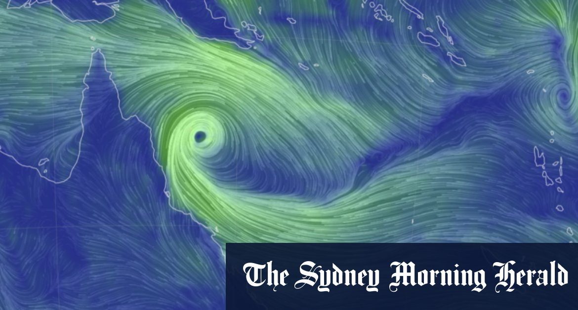
The bureau forecasts 100km/h winds may hit coastal and island communities between Cape Flattery and Innisfail late Tuesday or early Wednesday.
Emergency Services Minister Mark Ryan urged affected communities to make preparations.
“Parts of the north, including Palm Island off Townsville, are already experiencing gale force winds and heavy rain,” Mr Ryan said.
“The Bureau of Meteorology is forecasting that the system will likely remain off the coast as it intensifies over the next two days. However, it may stay close enough to bring severe weather to exposed coastal fringes and island communities.
“This means gales with gusts up to 100km/h, heavy rainfall and abnormally high tides are likely … throughout Tuesday. So, now is the time for those areas to take action and prepare.”
He urged residents to clean up their yards including tying down trampolines, swing sets and other large items.
“Don’t leave anything to chance in case you’re cut off due to flooding,” he said.
“Stock an emergency kit with essential supplies including food, water, warm clothes, medications, first aid supplies, important documents, valuables, a battery-powered or wind-up radio and sleeping gear.”