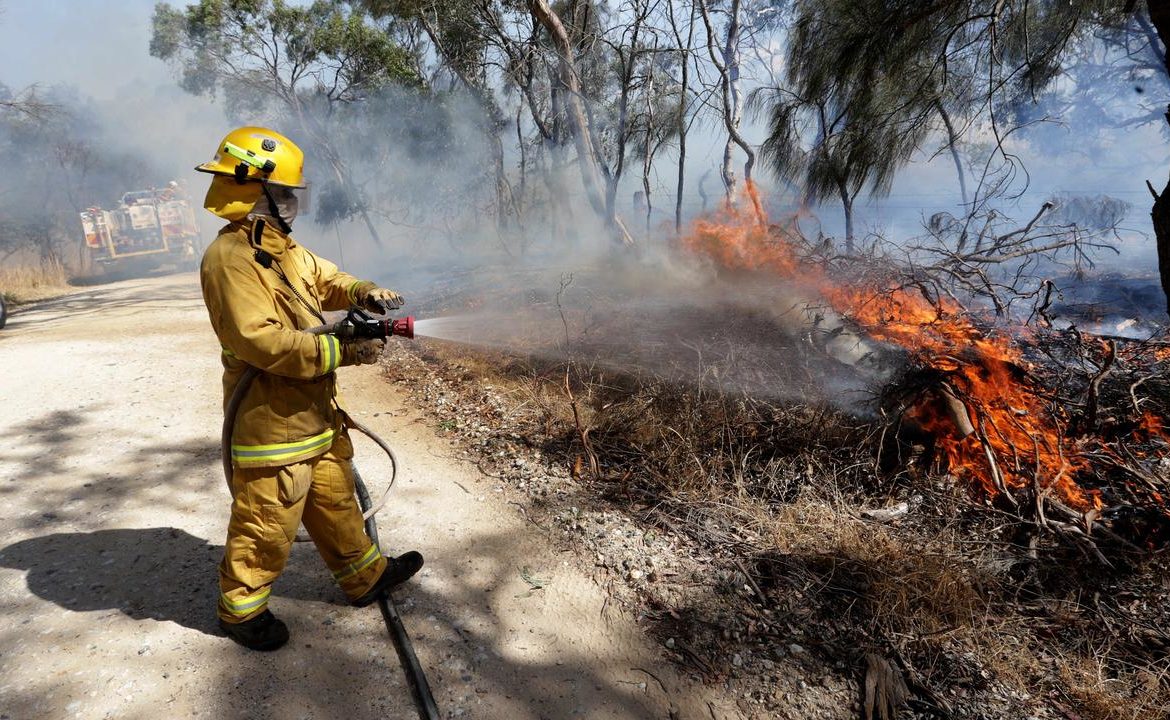
Authorities are on high alert as a “nasty” mix of strong winds, high temperatures and lightning moves across the state on Sunday increasing fire risk in most regions.
Eight districts have been issued total fire bans, with two of those regions – the Mid North and Flinders – issued with extreme fire danger ratings.
The remaining six areas – the North West and North East Pastoral Districts, with the Eastern Eyre Peninsula, Yorke Peninsula, Mount Lofty Ranges and the Riverland also have bans inplace for Sunday, and severe fire danger ratings.
Country Fire Service State Duty Commander Brenton Hastie said people in the Mid North and Flinders districts should leave their property tonight if that is part of their bushfire safety plan.
“If you do have a plan and your plan is to leave…we ask you to leave tonight or early tomorrow as the conditions are going to become elevated quite early in the morning,” Mr Hastie said.
WEATHER SA rain radar – 650×366
The weather has become more complex as forecast storms are set to hit the central and eastern parts in the afternoon, he said.
“As we saw earlier in the week lightning events have the potential to start further fires and with the strong winds that are forecast it does pose some challenges for firefighters.”
Regional command centres will be fully staffed on Sunday, and CFS brigades will be on standby in high risk areas.
“We will have instant management teams pre-deployed to the areas on concern, we’ll also have addition aircraft available and ready to go to cover the high risk areas.”
Senior forecaster from the Bureau of Meteorology, Paul Lainio said Sunday is shaping up to be a “nasty” fire weather day.
“We’ve got general wind flow, we’ve got the thunder and the lightning all coming together to result in very dangerous fire conditions across large parts of the state.”
Adelaide is forecast to reach 36C on Sunday, and Mr Lainio said other central and eastern towns would reach 40C and above.
Many areas would see wind gusts up to 90km/h, he said.
A severe fire danger rating was in place for Saturday for the West Coast.
The hot weather follows the state’s first fire danger day on Tuesday, which sparked 146 fires across the state into Wednesday morning.
This week, BOM with CSIRO released the State of Climate 2020 report, which showed the country has warmed 1.5C since national records began in 1910.
Last year was Australia’s warmest year on record, with experts warning it will seem cool compared the next hundred years as climate change takes hold.
Originally published as ‘Nasty’ mix of heat, lightning brings extreme fire threat


